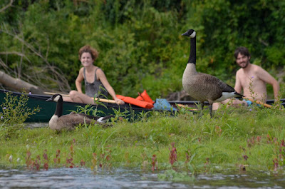
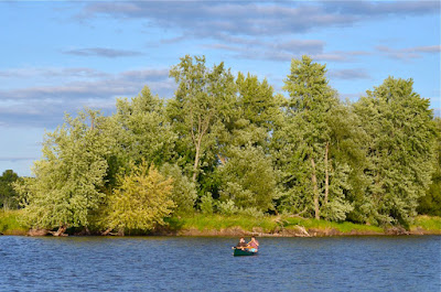
What: I've now paddled the Salmon Hole to downtown Burlington loop about 7 times, this last time with my sister, Meryl, and our friend Carlos. It's amazing that I can walk my boat three quarters of a mile, paddle, 16 miles, and then walk 2 miles home. With all the rain we had the other night the river level was considerably higher and I had a blast running the rapids at Salmon Hole. The wind was also much stronger. The following day (Wednesday) we had fair weather, with a nice blanket of cumulus clouds settled over Vermont and New York. With a different perspective of being on the lake I was struck by the noticeable absence of clouds over the water.
| Panorama showing absence of clouds over Lake Champlain |
Ecological notes: My theory is that we had lots of rain on Monday, followed by warm temperatures. Already when the rain was falling it was evaporating and there was a beautiful mist carpeting the understory of Centennial Woods. As the warm moist air rises it reaches cooler air. When enough water vapor cools enough degrees (the birds and bees of making a cloud) it can reach what's called the dew point. Dew point is the point just beyond 100% relative humidity where water vapor condenses out onto a solid substrate, like dust or grass or your tent. An easy example is a cold glass of water on a warm humid day. As the air comes in contact with the glass it cools rapidly. Cold air can "hold" less water vapor, so the air in contact with the glass reaches the dew point and little water droplets form on the glass (but not on your much warmer skin).
In the atmosphere, as that warm air rises, the water vapor can condense and will appear to us as a cloud. So the greater the difference in temperature between the ground and the sky, the lower the elevation at which clouds should form, because they'll reach that dew point much sooner.
We started paddling on the lake around 9:45am and I guessed the clouds were around 3000'. Once we rounded Apple Tree Point we had a great view of Camel's Hump and a little more than the summit (4081') was covered, so the clouds were probably closer to about 3500'. About an hour later it was considerably warmer outside, and more warm air had already risen into the atmosphere, thus, the air around Camel's Hump had warmed as well. This should have raised the dew point and the elevation at which clouds were forming. Sure enough, by about 11:15am, the top of Camel's Hump was exposed, indicating that the clouds were at about 4100'.
So why no clouds over the widest parts of the lake? The temperature of the lake is more stable and cooler, so the temperature gradient between water and air is far less. Because there is a lower temperature gradient, the air rises at a much slower rate, allowing for water vapor to reach equilibrium rather than condensing out.
Where: Lake Champlain & the mighty Winooski River
Other notes: The sunlight on Tuesday was stunning - those soft sunset golds. The winds were kicking up the leaves of the silver maples that line the Winooski River. I could never understand why they were called silver maples until I saw this a few years ago. The undersides have a much paler color and when the winds dance them around exposing their bellies the whole tree takes on this ethereal silvery sheen. Someone must have named it in the sunset after a good summer storm.


No comments:
Post a Comment